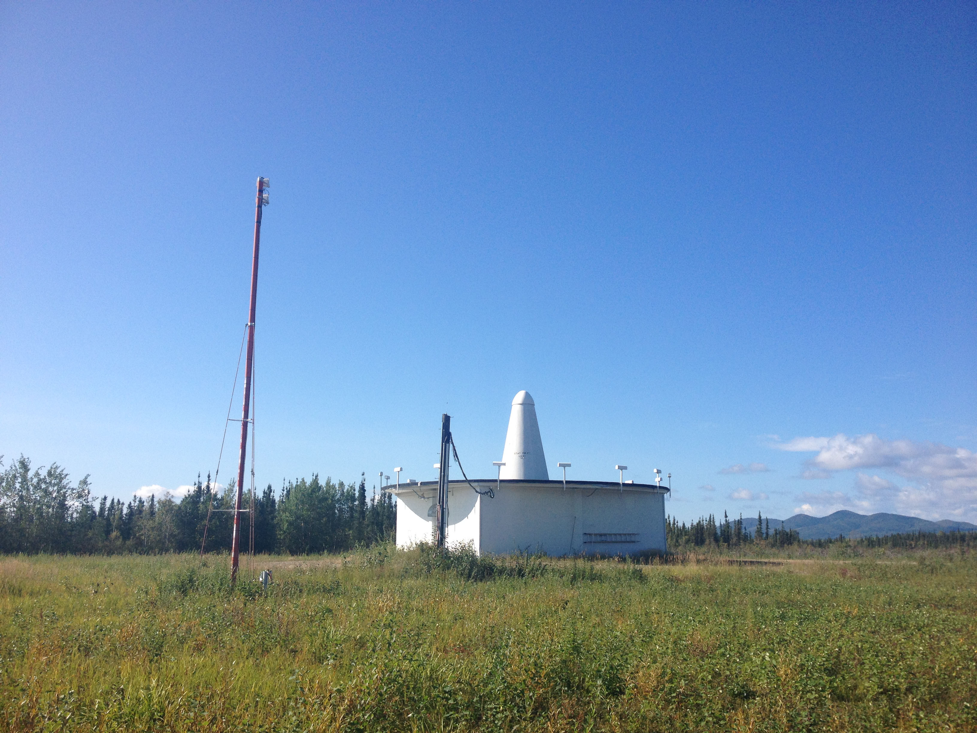
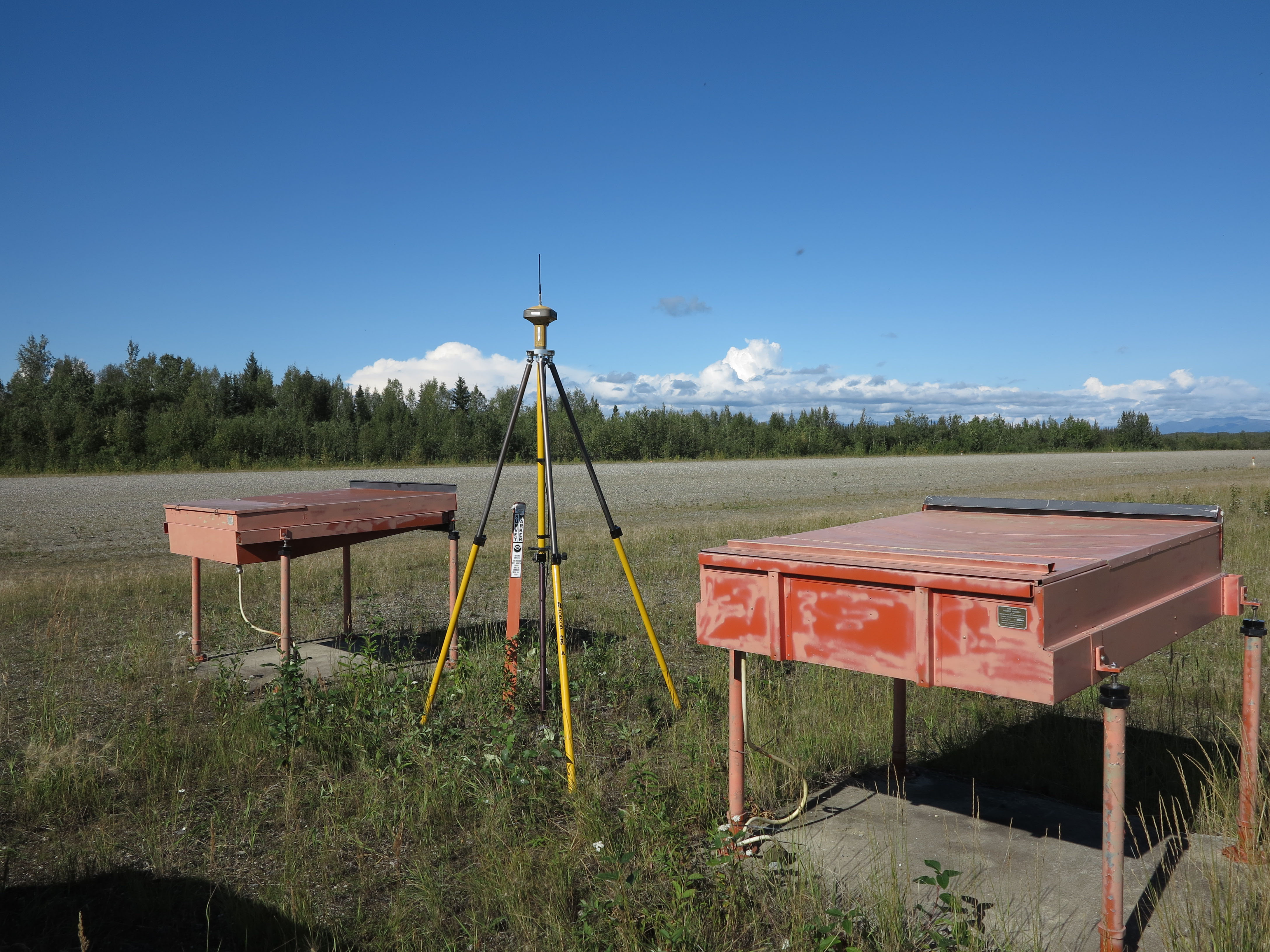
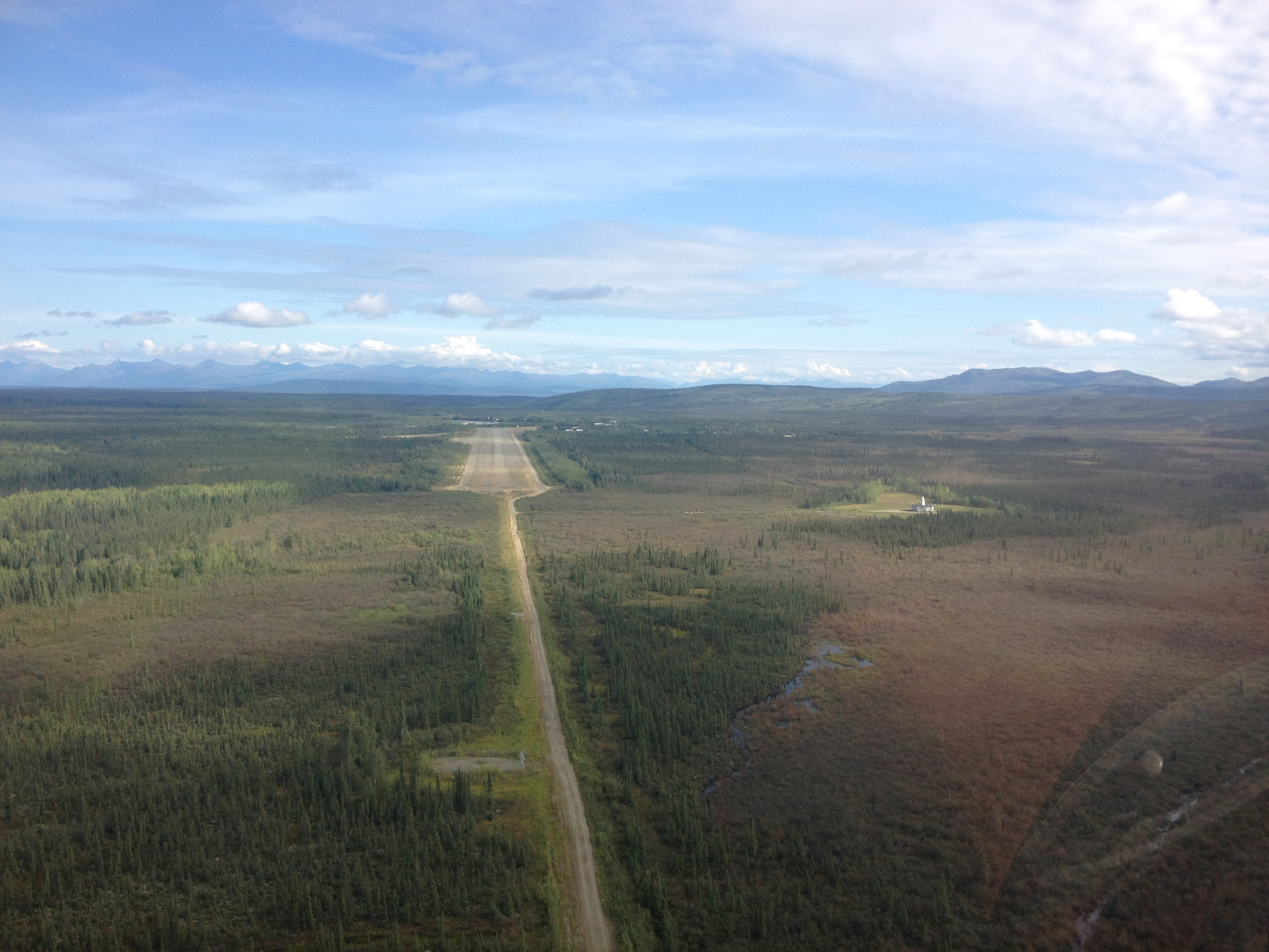
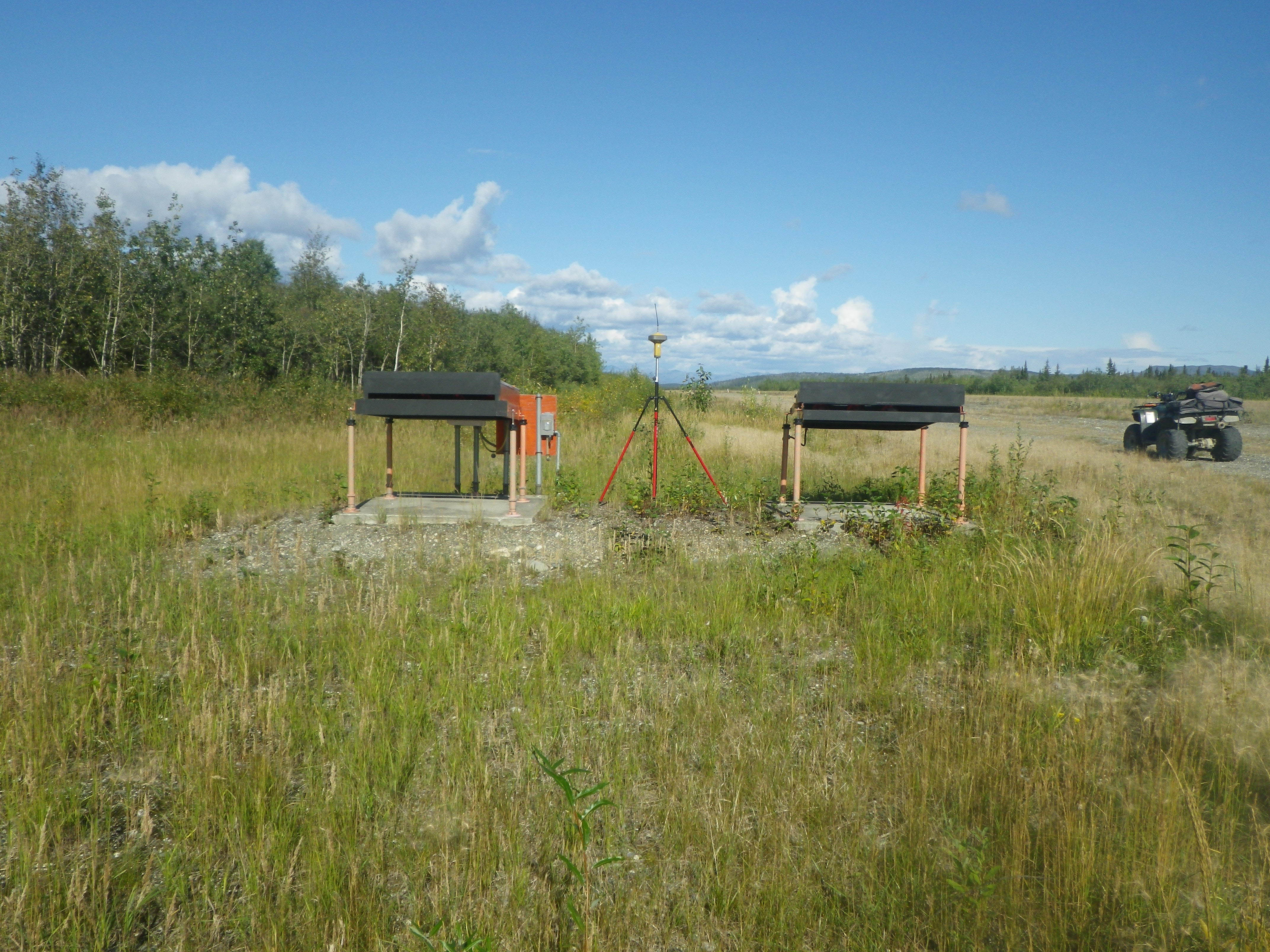
Lounsbury & Associates professionals are experts providing geospatial services for the Aviation industry. Bettles airport is one of many Aeronautical Survey projects our staff has participated in. Beginning with some of the very first projects in the country supporting the Federal Aviation Administration’s (FAA) Airport Geographic Information System (AGIS) which was developed to meet the demands of the Next Generation National Airspace System, we have gone on to become an integral part of the AGIS program in Alaska. Our projects guided by the FAA Advisory Circulars 150/5070-6B, 150/5300-13A, 150/5300-16A, 150/5300-17C, and 150/5300-18B require the collection of planimetric, topographic, aerial imagery, and airport obstruction data obtained through a combination of traditional surveys and remote sensing. We use our understanding of the component principles that comprise the FAA standards, such as National CAD standards, geometric requirements for feature types within GIS, topological integrity essentials, metadata implementation, and CAD/GIS data interoperability to develop digital deliverables. This data is used used by FAA to better manage airport facilities and migrate from a paper based system to electronic Airport Obstruction Charts and Airport Layout Plans.